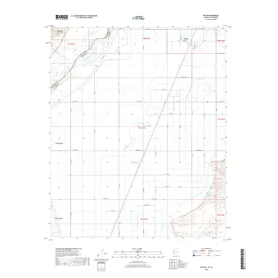
2018 Map of Poston
USGS Topo · Published 2018About this map
Poston and the surrounding Parker Valley are defined by a complex network of agricultural irrigation channels and the nearby Colorado River. This landscape reveals a highly engineered environment where man-made features like the Lateral Number Seventy-nine, Leupp Lateral, and Lateral A Seventy-three distribute water across the arid lowlands. To the northwest, the Riverside Mountains rise sharply, creating a stark geological contrast to the flat valley floor. The map documents the boundary where California and Arizona meet, with a prominent Levee protecting the developed land from the river's path. Grounded in the local history of the region, the road names often reflect cultural influences, such as Tahbo Rd, Navajo Rd, and Polacca Rd, while residential pockets like 50 Homes Rd indicate small-scale settlement patterns in this part of La Paz County.
Find a feature on this map
37 named features on this map. Tap any name to fly to it.
Don’t see what you’re looking for? This feature index may not catch every label — zoom into the map to look around manually.
Map Details
Editions of this 2018 Poston Map
This is the sole edition of this map. No revisions or reprints were ever made.
Other maps of this area

1911 · Parker
USGS Topo · 1:125,000

1931 · Moon Mtn
USGS Topo · 1:62,500

1932 · Moon Mtn
USGS Topo · 1:62,500

1942 · Blythe
USGS Topo · 1:250,000

1942 · MOON MTN
USGS Topo · 1:62,500

1943 · Parker
USGS Topo · 1:62,500

1943 · Vidal
USGS Topo · 1:62,500

1945 · Big Maria Mtns
USGS Topo · 1:62,500

1949 · Parker
USGS Topo · 1:62,500

1949 · Vidal
USGS Topo · 1:62,500