2021 Map of Poston
USGS Topo · Published 2021About this map
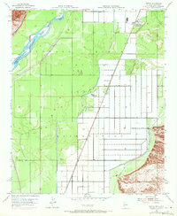
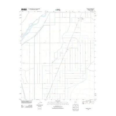
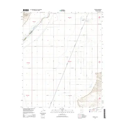
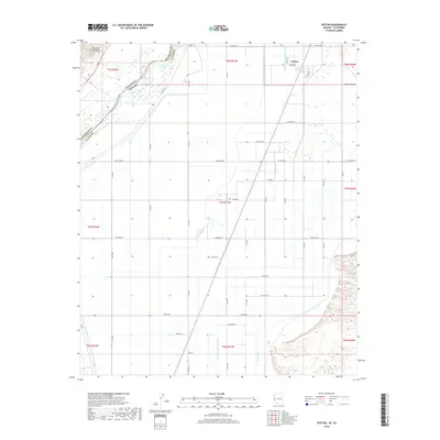
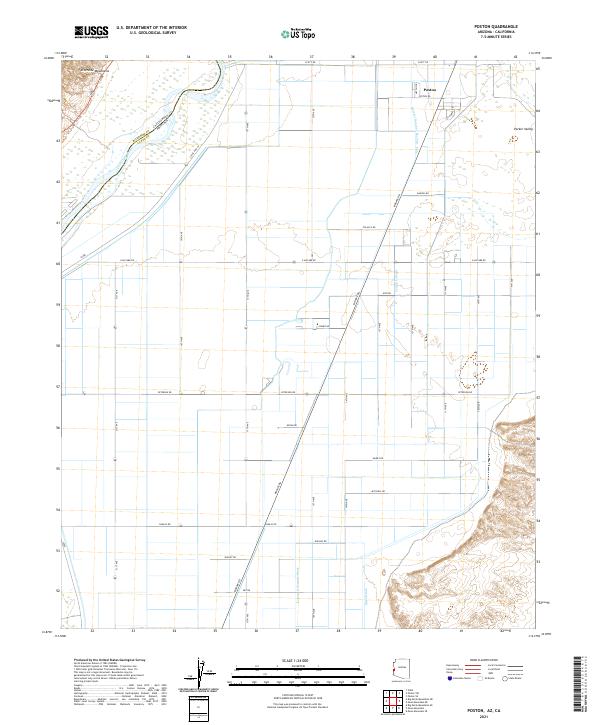
The Poston settlement and its surrounding agricultural infrastructure dominate this 2021 study of the Parker Valley. Located along the border between La Paz County, Arizona and Riverside County, California, the landscape is defined by the Colorado River and an extensive network of irrigation features. Canals and drains such as Lateral Number Seventy-nine, Leupp Lateral, and the Mesa Drain illustrate the engineered nature of this desert river valley, which relies on complex water management for its survival.
Find a feature on this map
26 named features on this map. Tap any name to fly to it.
Don’t see what you’re looking for? This feature index may not catch every label — zoom into the map to look around manually.
Map Details
Editions of this 2021 Poston Map
This is the sole edition of this map. No revisions or reprints were ever made.
Historical Maps of Poston Through Time
5 maps found