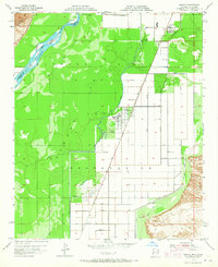
1955 Map of Poston
USGS Topo · Published 1965About this map
The Colorado River Indian Reservation dominates this mid-century landscape, illustrating the intensive irrigation and settlement patterns within the Colorado River Valley. The rectangular grid of fields is serviced by a complex system of water management, including the Main Drain and Lateral Drain, which support the agricultural life of Poston and the adjacent Poston 2. This survey reflects the period when the area was being shaped by the infrastructure of the Colorado River, protected by a prominent Levee to the west.
Find a feature on this map
19 named features on this map. Tap any name to fly to it.
Don’t see what you’re looking for? This feature index may not catch every label — zoom into the map to look around manually.
Map Details
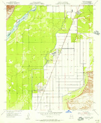
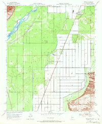
Editions of this 1955 Poston Map
3 editions found
Other maps of this area

1911 · Parker
USGS Topo · 1:125,000

1931 · Moon Mtn
USGS Topo · 1:62,500

1932 · Moon Mtn
USGS Topo · 1:62,500

1942 · Blythe
USGS Topo · 1:250,000

1942 · MOON MTN
USGS Topo · 1:62,500

1943 · Parker
USGS Topo · 1:62,500

1943 · Vidal
USGS Topo · 1:62,500

1945 · Big Maria Mtns
USGS Topo · 1:62,500

1949 · Parker
USGS Topo · 1:62,500

1949 · Vidal
USGS Topo · 1:62,500