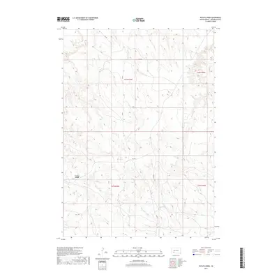
2017 Map of Potato Creek
USGS Topo · Published 2017About this map
The settlement of Potato Creek anchors the southwestern portion of this Jackson County survey, situated along the corridor of BIA Hwy 2. The landscape is defined by the dendritic drainage patterns of several seasonal watercourses, most notably the winding paths of Lost Dog Cr and Turtle Cr. These streams carve through the high plains of the Pine Ridge region, creating a complex network of ridges and draws that dictate the placement of local infrastructure. A network of Bureau of Indian Affairs roads, including BIA Rd and Allen Rd, provides access across the townships. The map illustrates a contemporary view of this rural landscape, where ranching and traditional land use continue to follow the natural contours of the South Dakota prairie.
Find a feature on this map
16 named features on this map. Tap any name to fly to it.
Don’t see what you’re looking for? This feature index may not catch every label — zoom into the map to look around manually.
Map Details
Editions of this 2017 Potato Creek Map
This is the sole edition of this map. No revisions or reprints were ever made.
Other maps of this area

1950 · Interior
USGS Topo · 1:24,000

1950 · Interior SE
USGS Topo · 1:24,000

1950 · Potato Creek
USGS Topo · 1:24,000

1951 · School Section Butte
USGS Topo · 1:24,000

1952 · Conata NE
USGS Topo · 1:24,000

1952 · Conata SE
USGS Topo · 1:24,000

1955 · Hot Springs
USGS Topo · 1:250,000

1955 · Martin
USGS Topo · 1:250,000

1958 · Martin
USGS Topo · 1:250,000

1980 · Kadoka
USGS Topo · 1:100,000