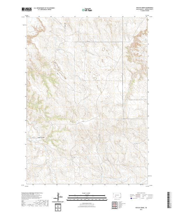
2021 Map of Potato Creek
USGS Topo · Published 2021About this map
Potato Creek serves as the central focal point for this section of Jackson County, South Dakota. The drainage patterns of the high plains define the landscape, with Potato Cr, Lost Dog Cr, and Bull Cr carving distinct pathways through the terrain. The map records the local infrastructure of the early 2020s, characterized by the Bureau of Indian Affairs road network, including Bia Hwy 2 and Bia Rd 120. This area reflects the remote, ranching-oriented settlement patterns common to the Pine Ridge region, where watercourses like Turtle Cr dictate the orientation of both natural features and human pathways. The USGS mapping reveals how historical township lines and modern road corridors like Allen Rd intersect across the open landscape.
Find a feature on this map
16 named features on this map. Tap any name to fly to it.
Don’t see what you’re looking for? This feature index may not catch every label — zoom into the map to look around manually.
Map Details
Editions of this 2021 Potato Creek Map
This is the sole edition of this map. No revisions or reprints were ever made.
Other maps of this area

1950 · Interior
USGS Topo · 1:24,000

1950 · Interior SE
USGS Topo · 1:24,000

1950 · Potato Creek
USGS Topo · 1:24,000

1951 · School Section Butte
USGS Topo · 1:24,000

1952 · Conata NE
USGS Topo · 1:24,000

1952 · Conata SE
USGS Topo · 1:24,000

1955 · Hot Springs
USGS Topo · 1:250,000

1955 · Martin
USGS Topo · 1:250,000

1958 · Martin
USGS Topo · 1:250,000

1980 · Kadoka
USGS Topo · 1:100,000