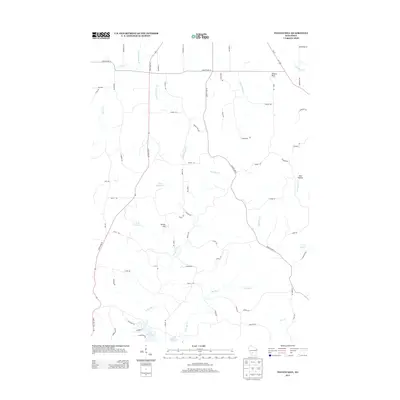
2013 Map of Potato Hill
USGS Topo · Published 2013About this map
Lake Redstone anchors the southern edge of this Wisconsin landscape, where the waters of the E Br Big Cr and W Br Big Cr converge. The terrain is defined by a series of prominent elevations and valleys, most notably the namesake Potato Hill and the outcrop at Pollard Rock. A network of rural routes, including State Road 58 and County Hwy-K, winds through the watershed, connecting scattered family farmsteads indicated by roads like Petrowitz Rd and Morrissey Rd. Smaller water features such as the 0-48 Reservoir and 0-58 Reservoir suggest managed water resources within the agricultural drainage basins of Sevenmile Cr and Cattail Valley Cr. This survey captures the rural character of Juneau County, showing a landscape where geographic landmarks like Bass Hollow remain central to the local spatial orientation.
Find a feature on this map
66 named features on this map. Tap any name to fly to it.
Don’t see what you’re looking for? This feature index may not catch every label — zoom into the map to look around manually.
Map Details
Editions of this 2013 Potato Hill Map
This is the sole edition of this map. No revisions or reprints were ever made.
Other maps of this area

1901 · The Dells
USGS Topo · 1:62,500

1921 · Mauston
USGS Topo · 1:62,500

1956 · Reedsburg
USGS Topo · 1:62,500

1957 · Wisconsin Dells
USGS Topo · 1:62,500

1957 · Madison
USGS Topo · 1:250,000

1958 · La Crosse
USGS Topo · 1:250,000

1960 · Madison
USGS Topo · 1:250,000

1961 · La Crosse
USGS Topo · 1:250,000

1961 · Adams
USGS Topo · 1:62,500

1962 · Mauston
USGS Topo · 1:62,500