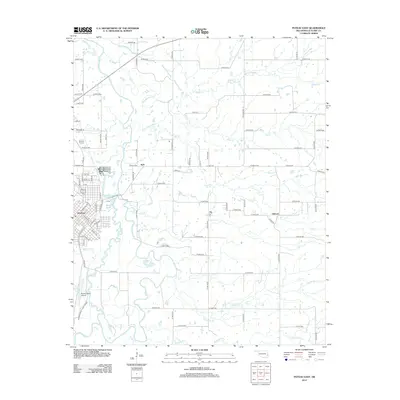
2012 Map of Poteau East
USGS Topo · Published 2012About this map
The city of Poteau anchors the southwestern portion of this landscape, where the street grid transitions into the sprawling wetlands and winding channels of the Poteau River valley. The river's complex hydrologic history is visible in features like The Cutoff and the Lost Poteau River, which meander through the center of the sheet toward smaller settlements like Neff and Gilmore. This area reflects a mid-continent transportation and aviation hub, dominated by the Robert S Kerr Airport and a dense network of county roads that navigate the numerous tributaries, including Sugarloaf Cr and Double Br Cr. The map illustrates how human development in Le Flore County has adapted to the fluctuating watercourses and low-lying basins that define the local topography east of the city center.
Find a feature on this map
62 named features on this map. Tap any name to fly to it.
Don’t see what you’re looking for? This feature index may not catch every label — zoom into the map to look around manually.
Map Details
Editions of this 2012 Poteau East Map
This is the sole edition of this map. No revisions or reprints were ever made.
Other maps of this area

1887 · Poteau Mountain #2
USGS Topo · 1:62,500

1887 · Greenwood
USGS Topo · 1:62,500

1890 · Fort Smith
USGS Topo · 1:125,000

1890 · Poteau Mountain
USGS Topo · 1:125,000

1899 · Poteau Mountain
USGS Topo · 1:125,000

1900 · Sallisaw
USGS Topo · 1:125,000

1900 · Winding Stair
USGS Topo · 1:125,000

1909 · Winding Stair
USGS Topo · 1:125,000

1911 · Sallisaw
USGS Topo · 1:125,000

1943 · Fort Smith
USGS Topo · 1:125,000