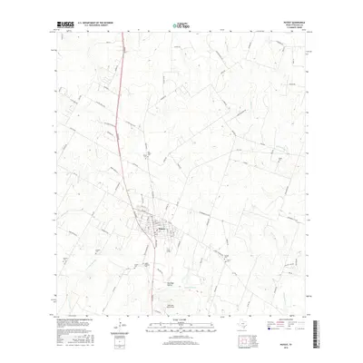
2016 Map of Poteet
USGS Topo · Published 2016About this map
Poteet serves as the central hub of this Atascosa County landscape, where the town’s residential grid is bounded by a network of farm-to-market roads and seasonal watercourses. The drainage of the Atascosa River and several tributaries, including Agua Negra Cr and Palo Alto Cr, shapes the local topography. This map is particularly valuable for genealogists, as it documents numerous family-named burial sites scattered across the rural acreage, such as Madre Dolorosa Cem, San Pedro Poteet Cem, and Shiloh Cem. The terrain transitions from the lowlands of Rutledge Hollow to the creek-carved plains, reflecting the area's long-standing agricultural character. Transportation is defined by established routes like FM 476 and FM 1470, which connect the town center to the surrounding countryside and its dispersed homesteads.
Find a feature on this map
90 named features on this map. Tap any name to fly to it.
Don’t see what you’re looking for? This feature index may not catch every label — zoom into the map to look around manually.
Map Details
Editions of this 2016 Poteet Map
This is the sole edition of this map. No revisions or reprints were ever made.
Other maps of this area

1953 · Crystal City
USGS Topo · 1:250,000

1954 · San Antonio
USGS Topo · 1:250,000

1955 · Crystal City
USGS Topo · 1:250,000

1956 · Pleasanton
USGS Topo · 1:62,500

1956 · Jourdanton
USGS Topo · 1:62,500

1957 · San Antonio
USGS Topo · 1:250,000

1958 · Losoya
USGS Topo · 1:24,000

1958 · Somerset
USGS Topo · 1:24,000

1958 · Thelma
USGS Topo · 1:24,000

1961 · Crystal City
USGS Topo · 1:250,000