
1952 Map of Potlatch
USGS Topo · Published 1954About this map
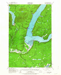
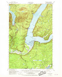
The Skokomish Indian Reservation occupies the fertile delta where the Skokomish River meets Annas Bay, anchoring the southern end of this mid-century survey. Further north, the sharp curve of Hood Canal at The Great Bend creates a dramatic transition from the tidal waters to the timber-rich slopes of Dow Mtn and the Olympic National Forest. Significant water resources are evident, from the reservoir of Lake Cushman to the smaller Old Hatchery Lake, reflecting the region's reliance on both maritime and inland hydraulics. Small communities like Hoodsport and Potlatch dot the shoreline, connected by coastal roads, while the educational landscape is marked by the Indian Sch, Skokomish Valley Sch, and Tahuya School. The interior reveals a dense network of upland lakes, including Cady Lake and Tee Lake, as the Northern Pacific railroad cuts through the southern terrain toward Oakland Bay.
Find a feature on this map
79 named features on this map. Tap any name to fly to it.
Don’t see what you’re looking for? This feature index may not catch every label — zoom into the map to look around manually.
Map Details
Editions of this 1952 Potlatch Map
3 editions found
Other maps of this area

1936 · Point Misery
USGS Topo · 1:62,500

1937 · Olympia
USGS Topo · 1:62,500

1938 · Mt Constance
USGS Topo · 1:125,000

1938 · Allyn
USGS Topo · 1:62,500

1939 · Shelton
USGS Topo · 1:62,500

1940 · Point Misery
USGS Topo · 1:62,500

1943 · Potlatch
USGS Topo · 1:62,500

1943 · Nahwatzel Lake
USGS Topo · 1:62,500

1947 · The Brothers
USGS Topo · 1:62,500

1947 · Mt. Steel
USGS Topo · 1:62,500