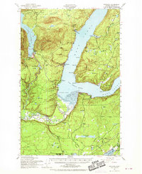
1952 Map of Potlatch
USGS Topo · Published 1970About this map
Lake Cushman and the winding shoreline of the Great Bend anchor this mid-century survey of the Olympic Peninsula. The transition from the high ridges of the Olympic National Forest down to the tidewaters of Hood Canal reveals a landscape defined by timber and water. Along the western shore, the settlements of Hoodsport and Potlatch sit at the mouths of steep drainages, while the Skokomish Indian Reservation occupies the broad river valley to the south.
Find a feature on this map
86 named features on this map. Tap any name to fly to it.
Don’t see what you’re looking for? This feature index may not catch every label — zoom into the map to look around manually.
Map Details
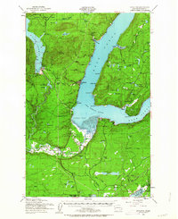
Editions of this 1952 Potlatch Map
3 editions found

Other maps of this area

1936 · Point Misery
USGS Topo · 1:62,500

1937 · Olympia
USGS Topo · 1:62,500

1938 · Mt Constance
USGS Topo · 1:125,000

1938 · Allyn
USGS Topo · 1:62,500

1939 · Shelton
USGS Topo · 1:62,500

1940 · Point Misery
USGS Topo · 1:62,500

1943 · Potlatch
USGS Topo · 1:62,500

1943 · Nahwatzel Lake
USGS Topo · 1:62,500

1947 · The Brothers
USGS Topo · 1:62,500

1947 · Mt. Steel
USGS Topo · 1:62,500