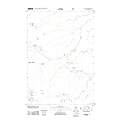
2011 Map of Potosi Peak
USGS Topo · Published 2011About this map
The Tobacco Root Mountains of Madison County define this high-altitude landscape, dominated by the peaks and drainages surrounding Potosi Peak. The area's legacy of extraction is evident through several marked workings, including the Potosi Peak Tungsten Mine and the Beulrh Mine, the latter of which features an associated settlement at the Beulrh Mine Camp near Mill Creek. This network of mountain mining operations is supported by a series of high-mountain reservoirs and lakes, such as Upper Branham Lake and Camp Creek Reservoir, which managed water flow for down-canyon use.
Find a feature on this map
69 named features on this map. Tap any name to fly to it.
Don’t see what you’re looking for? This feature index may not catch every label — zoom into the map to look around manually.
Map Details
Editions of this 2011 Potosi Peak Map
This is the sole edition of this map. No revisions or reprints were ever made.
Other maps of this area

1888 · Three Forks
USGS Topo · 1:250,000

1893 · Dillon
USGS Topo · 1:250,000

1894 · Three Forks
USGS Topo · 1:250,000

1895 · Three Forks
USGS Topo · 1:250,000

1947 · Bozeman
USGS Topo · 1:250,000

1948 · Bozeman
USGS Topo · 1:250,000

1950 · Harrison
USGS Topo · 1:62,500

1950 · Virginia City
USGS Topo · 1:62,500

1955 · Bozeman
USGS Topo · 1:250,000

1955 · Dillon
USGS Topo · 1:250,000