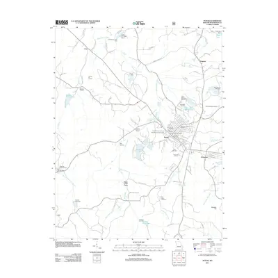
2011 Map of Potosi
USGS Topo · Published 2011About this map
Potosi serves as the focal point of this topographic survey, revealing a landscape defined by its mining heritage and historical burial grounds. The town is surrounded by a notable concentration of cemeteries, including the Potosi Colored Cemetery, Saint James Catholic Cemetery, and the Potosi New Masonic Cemetery, which provide significant data for genealogical research. The region's industrial character is evident in the presence of mining-related hydrology, such as the Settle Mine Tailings Pond and Keyes Branch Mine Dam.
Find a feature on this map
101 named features on this map. Tap any name to fly to it.
Don’t see what you’re looking for? This feature index may not catch every label — zoom into the map to look around manually.
Map Details
Editions of this 2011 Potosi Map
This is the sole edition of this map. No revisions or reprints were ever made.
Other maps of this area

1901 · De Soto
USGS Topo · 1:125,000

1905 · Bonneterre
USGS Topo · 1:62,500

1906 · Potosi
USGS Topo · 1:62,500

1937 · Tiff
USGS Topo · 1:24,000

1939 · Tiff
USGS Topo · 1:24,000

1946 · Richwoods
USGS Topo · 1:62,500

1948 · Richwoods
USGS Topo · 1:62,500

1949 · Saint Louis
USGS Topo · 1:250,000

1949 · Rolla
USGS Topo · 1:250,000

1953 · Rolla
USGS Topo · 1:250,000