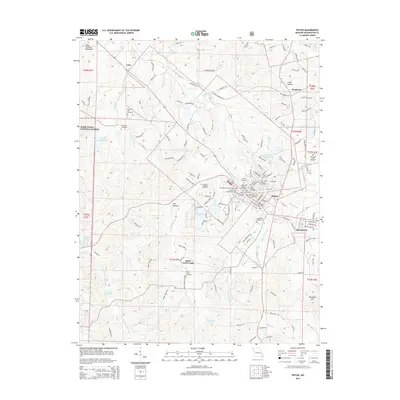
2015 Map of Potosi
USGS Topo · Published 2015About this map
The town of Potosi serves as the central hub for this portion of the Saint Francois Mountains, surrounded by a high density of burial grounds that reflect the community's multi-layered history. This concentrated cluster includes the Potosi Old Masonic Cemetery, the Potosi Colored Cemetery, and the Saint James Catholic Cemetery, along with several family plots like the McGrady Family Cemetery to the east. The landscape's industrial character is marked by the Settle Mine Tailings Pond, indicative of the region's mining heritage.
Find a feature on this map
181 named features on this map. Tap any name to fly to it.
Don’t see what you’re looking for? This feature index may not catch every label — zoom into the map to look around manually.
Map Details
Editions of this 2015 Potosi Map
This is the sole edition of this map. No revisions or reprints were ever made.
Other maps of this area

1901 · De Soto
USGS Topo · 1:125,000

1905 · Bonneterre
USGS Topo · 1:62,500

1906 · Potosi
USGS Topo · 1:62,500

1937 · Tiff
USGS Topo · 1:24,000

1939 · Tiff
USGS Topo · 1:24,000

1946 · Richwoods
USGS Topo · 1:62,500

1948 · Richwoods
USGS Topo · 1:62,500

1949 · Saint Louis
USGS Topo · 1:250,000

1949 · Rolla
USGS Topo · 1:250,000

1953 · Rolla
USGS Topo · 1:250,000