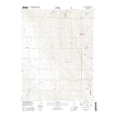
2015 Map of Potter Valley
USGS Topo · Published 2015About this map
Potter Valley and the small settlement of Pomo occupy a distinct alluvial basin in the 2010s, defined by the hydrological engineering of the East Fork Russian River and the Powerhouse Canal. The landscape transition is sharp, moving from the level agricultural valley floor with its complex network of irrigation features like the E Canal and W Canal to the steep eastern ridges of the Mendocino National Forest. High points such as Kibbey Peak and Garrett Mtn overlook the valley, while the northern edge of the sheet reaches the Eel River. Local history is anchored at the Potter Valley Cemetery and along the family-named roads that crisscross the flats, including Burris Ln and Mewhinney Cr. The presence of the Doyle Mountain Firebreak along the Mendocino and Lake County line reflects the modern management of these wooded highlands.
Find a feature on this map
45 named features on this map. Tap any name to fly to it.
Don’t see what you’re looking for? This feature index may not catch every label — zoom into the map to look around manually.
Map Details
Editions of this 2015 Potter Valley Map
This is the sole edition of this map. No revisions or reprints were ever made.
Other maps of this area

1920 · Ukiah
USGS Topo · 1:62,500

1922 · Hullville
USGS Topo · 1:62,500

1938 · Lakeport
USGS Topo · 1:62,500

1943 · Pomo
USGS Topo · 1:62,500

1944 · Ukiah
USGS Topo · 1:62,500

1951 · Lake Pillsbury
USGS Topo · 1:62,500

1951 · Lakeport
USGS Topo · 1:62,500

1957 · Ukiah
USGS Topo · 1:250,000

1958 · Ukiah
USGS Topo · 1:24,000

1958 · Cow Mountain
USGS Topo · 1:24,000