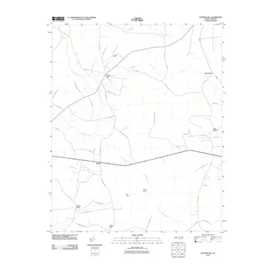
2010 Map of Potters Hill
USGS Topo · Published 2010About this map
Potters Hill sits at a crossroads of rural commerce in Onslow County, where the agricultural landscape meets an intricate network of coastal plain wetlands. The community at Quinns Store and the settlement of Hadley serve as focal points for the surrounding farmsteads and timber tracts. The terrain is defined by its low-lying drainage systems, including the expansive Tuckahoe Swamp to the north and Stephens Swamp to the south. Unique landforms such as Big Island and Reedy Island emerge from the wetlands, illustrating the challenging topography that shaped the local transportation network. Notable for its aviation presence, the Flying W Airport appears alongside family-named routes like Willard Edwards Rd and Lester Houston Rd, marking the generational footprint of local families in this portion of North Carolina.
Find a feature on this map
53 named features on this map. Tap any name to fly to it.
Don’t see what you’re looking for? This feature index may not catch every label — zoom into the map to look around manually.
Map Details
Editions of this 2010 Potters Hill Map
This is the sole edition of this map. No revisions or reprints were ever made.
Other maps of this area

1943 · Kenansville
USGS Topo · 1:62,500

1948 · Kenansville
USGS Topo · 1:62,500

1948 · Richlands
USGS Topo · 1:62,500

1953 · Rocky Mount
USGS Topo · 1:250,000

1953 · Beaufort
USGS Topo · 1:250,000

1954 · Rocky Mount
USGS Topo · 1:250,000

1954 · Beaufort
USGS Topo · 1:250,000

1957 · Seven Springs
USGS Topo · 1:62,500

1958 · Deep Run
USGS Topo · 1:62,500

1965 · Richlands
USGS Topo · 1:62,500