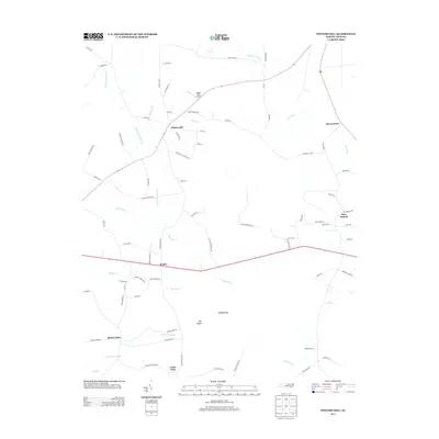
2013 Map of Potters Hill
USGS Topo · Published 2013About this map
Potters Hill sits at the intersection of local routes near the Onslow-Duplin county line, serving as a central point for a landscape defined by its wetlands and small settlements. The area's geography is heavily shaped by the New River and its numerous tributaries, including Little Limestone Cr and Muddy Cr. The map reveals a pattern of dispersed rural communities such as Jarmantown, Haw Branch, and Hadley, many of which grew around early crossroads and post offices like Quinns Store.
Find a feature on this map
77 named features on this map. Tap any name to fly to it.
Don’t see what you’re looking for? This feature index may not catch every label — zoom into the map to look around manually.
Map Details
Editions of this 2013 Potters Hill Map
This is the sole edition of this map. No revisions or reprints were ever made.
Other maps of this area

1943 · Kenansville
USGS Topo · 1:62,500

1948 · Kenansville
USGS Topo · 1:62,500

1948 · Richlands
USGS Topo · 1:62,500

1953 · Rocky Mount
USGS Topo · 1:250,000

1953 · Beaufort
USGS Topo · 1:250,000

1954 · Rocky Mount
USGS Topo · 1:250,000

1954 · Beaufort
USGS Topo · 1:250,000

1957 · Seven Springs
USGS Topo · 1:62,500

1958 · Deep Run
USGS Topo · 1:62,500

1965 · Richlands
USGS Topo · 1:62,500