Loading...
Loading map...2022 Map of Potters Hill
USGS Topo · Published 2022About this map
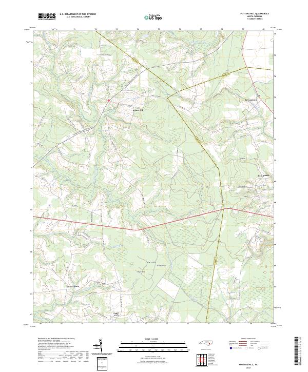
Potters Hill sits at the intersection of a low-lying riparian landscape where the boundaries of Duplin, Jones, and Onslow counties converge. The geography is defined by a dense network of watercourses and wetlands, most notably the New River and the expansive Tuckahoe Swamp to the north. These drainages create a fragmented terrain where dry ground is often named as distinct islands, such as Big Island and Reedy Island, rising from the surrounding bottoms of Muddy Cr and Limestone Cr.
Find a feature on this map
77 named features on this map. Tap any name to fly to it.
Don’t see what you’re looking for? This feature index may not catch every label — zoom into the map to look around manually.
Map Details
Date Portrayed2022
Date Published2022
PublisherU.S. Geological Survey
Map TypeTopographic
Scale1:24000
Physical Dimensions24 x 29 inches
Editions of this 2022 Potters Hill Map
This is the sole edition of this map. No revisions or reprints were ever made.
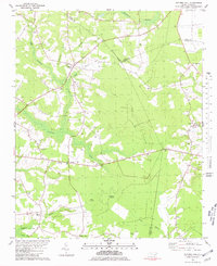
Historical Maps of Quinns Store Through Time
Featured Locations
Source Details
SourceU.S. Geological Survey
CopyrightPublic Domain