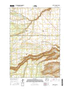
2017 Map of Potters Ponds
USGS Topo · Published 2017About this map
Potters Ponds and the surrounding high-plateau drainage systems define this landscape along the border of Wasco and Jefferson Counties. The 2017 survey reveals a remote terrain primarily shaped by seasonal watercourses like Middle Cr, Boulder Cr, and the significant path of Shitike Creek in the southern portion of the quadrangle. Level terrain features such as Mill Creek Flat and Miller Flat stand in contrast to the descending relief of Wolford Canyon and the headwaters of Dry Cr. This area is characterized by a dense network of forest and resource management roads, including NW Upper Crossing Rd and various numbered routes like P-320 Rd and B-100 Rd. These roads facilitate access through the township boundaries of t8s r11e and t9s r11e, connecting isolated water sources such as Seymore Springs to the broader regional geography.
Find a feature on this map
38 named features on this map. Tap any name to fly to it.
Don’t see what you’re looking for? This feature index may not catch every label — zoom into the map to look around manually.
Map Details
Editions of this 2017 Potters Ponds Map
This is the sole edition of this map. No revisions or reprints were ever made.
Other maps of this area

1927 · Mt. Jefferson
USGS Topo · 1:125,000

1928 · Madras
USGS Topo · 1:125,000

1930 · Mt. Jefferson
USGS Topo · 1:125,000

1931 · Madras
USGS Topo · 1:125,000

1955 · Bend
USGS Topo · 1:250,000

1957 · Bend
USGS Topo · 1:250,000

1958 · Bend
USGS Topo · 1:250,000

1961 · Whitewater River
USGS Topo · 1:62,500

1961 · Fort Butte
USGS Topo · 1:62,500

1962 · Metolius Bench
USGS Topo · 1:24,000