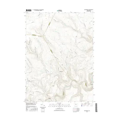
2016 Map of Pottersdale
USGS Topo · Published 2016About this map
The West Branch Susquehanna River carves a sharp, serpentine path through the southern portion of this region, defining the borders between Clearfield, Centre, and Clinton counties. This landscape is a complex network of deeply incised drainages like Upper Three Runs, Birch Island Run, and Smoke Draft, where small settlements such as Pottersdale and Belford sit along the ridges and valley floors.
Find a feature on this map
62 named features on this map. Tap any name to fly to it.
Don’t see what you’re looking for? This feature index may not catch every label — zoom into the map to look around manually.
Map Details
Editions of this 2016 Pottersdale Map
This is the sole edition of this map. No revisions or reprints were ever made.
Other maps of this area

1928 · Snow Shoe
USGS Topo · 1:48,000

1929 · Karthaus
USGS Topo · 1:62,500

1931 · Show Shoe
USGS Topo · 1:62,500

1932 · Karthaus
USGS Topo · 1:62,500

1945 · Driftwood
USGS Topo · 1:48,000

1945 · Sinnemahoning
USGS Topo · 1:24,000

1945 · Driftwood
USGS Topo · 1:24,000

1946 · Renovo West
USGS Topo · 1:62,500

1946 · Keating
USGS Topo · 1:24,000

1947 · Sinnemahoning
USGS Topo · 1:24,000
Featured Places
- Karthaus Township, PA
- East Keating Township, PA
- West Keating Township, PA
- Spruce, West Keating Township
- Pottersdale, Karthaus Township