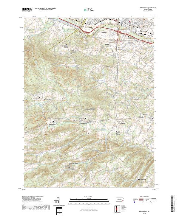
2023 Map of Pottstown
USGS Topo · Published 2023About this map
The Schuylkill River forms a natural corridor for industry and transit in the north, anchoring the urban center of Pottstown and its neighboring boroughs. This landscape is a dense network of early crossroads and hamlets, where places like Coventryville and Pughtown reveal the enduring settlement patterns of northern Chester County. The area south of the river transitions into undulating terrain marked by numerous family-named landmarks and long-standing religious sites, including the Nantmeal Friends Burial Grounds and the Shenkel United Church of Christ Cem.
Find a feature on this map
64 named features on this map. Tap any name to fly to it.
Don’t see what you’re looking for? This feature index may not catch every label — zoom into the map to look around manually.
Map Details
Editions of this 2023 Pottstown Map
This is the sole edition of this map. No revisions or reprints were ever made.
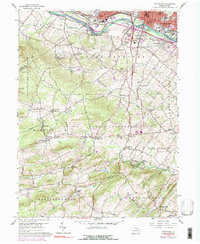
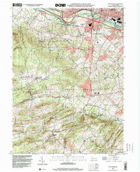
Historical Maps of Kenilworth Through Time
3 maps found
Featured Locations
- Warwick Township, PA
- East Nantmeal Township, PA
- West Pottsgrove, PA
- Pottstown, PA
- South Pottstown, North Coventry Township