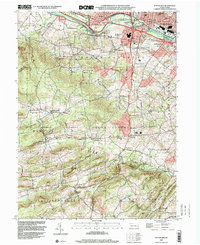
1999 Map of Pottstown
USGS Topo · Published 2001About this map
The Schuylkill River carves a path through the northern portion of this landscape, separating the industrial and residential core of Pottstown from its southern counterparts in North Coventry. This era is defined by a dense network of established settlements and rural crossroads, including St Peters, Harmonyville, and Nantmeal Village. Local institutions such as St Peters Ch and Schenkel Ch dot the landscape, alongside educational landmarks like the Hill Sch. The southern half of the map reveals a shift toward conservation and recreation, anchored by the expansive French Creek State Park and State Game Lands No 43. This transition from the rail-serviced corridor of the Conrail lines to the protected woodlands near South Branch French Creek illustrates the balanced development of Chester, Montgomery, and Berks counties during the late twentieth century.
Find a feature on this map
69 named features on this map. Tap any name to fly to it.
Don’t see what you’re looking for? This feature index may not catch every label — zoom into the map to look around manually.
Map Details
Editions of this 1999 Pottstown Map
This is the sole edition of this map. No revisions or reprints were ever made.
Other maps of this area

1894 · Reading
USGS Topo · 1:62,500

1902 · Boyertown
USGS Topo · 1:62,500

1905 · Honey Brook
USGS Topo · 1:62,500

1906 · Phoenixville
USGS Topo · 1:62,500

1907 · Honeybrook
USGS Topo · 1:62,500

1913 · Reading
USGS Topo · 1:62,500

1915 · Reading
USGS Topo · 1:62,500

1941 · Honeybrook
USGS Topo · 1:62,500
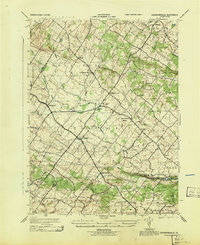
1943 · Sassamansville
USGS Topo · 1:31,680
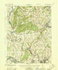
1943 · Boyertown
USGS Topo · 1:31,680