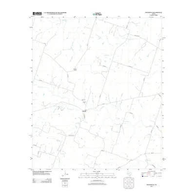
2012 Map of Pottsville
USGS Topo · Published 2012About this map
Pottsville anchors this part of Hamilton County, serving as a central hub where Farm Road 221 and FM-218 meet. The landscape is defined by the branching waterways of the Brazos River basin, including Cowhouse Creek and its many tributaries like School Land Creek and Baptist Branch. These watercourses dictate the rural road network, with routes like Farm Road 2842 and County Road 617 winding between drainage patterns and low-lying basins.
Find a feature on this map
33 named features on this map. Tap any name to fly to it.
Don’t see what you’re looking for? This feature index may not catch every label — zoom into the map to look around manually.
Map Details
Editions of this 2012 Pottsville Map
This is the sole edition of this map. No revisions or reprints were ever made.
Other maps of this area

1888 · Hamilton
USGS Topo · 1:125,000

1894 · Hamilton
USGS Topo · 1:125,000

1954 · Brownwood
USGS Topo · 1:250,000

1956 · Gustine
USGS Topo · 1:62,500

1956 · Gentrys Mill
USGS Topo · 1:24,000

1956 · Gustine
USGS Topo · 1:24,000

1956 · Pottsville
USGS Topo · 1:62,500

1956 · Hico
USGS Topo · 1:62,500

1956 · Hamilton
USGS Topo · 1:62,500

1956 · Hamilton West
USGS Topo · 1:24,000