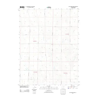
2013 Map of Potty Brown Creek
USGS Topo · Published 2013About this map
Potty Brown Cr and its associated drainages define the landscape of eastern Adams County in this early 21st-century survey. The terrain is organized by a strict grid of county roads, where family and local surnames like Philmay Rd, Bixler Mile Rd, and Prospert Way Rd delineate vast agricultural sections. The intersection of local history and transport is evident at Deter-Winters Mill Rd and Hanks Crossing Rd, points that likely anchored the rural economy. Water remains the primary geographical marker in this arid expanse, with the E Fork Little Muddy Cr and W Fork San Arroyo Cr cutting subtle paths through the township boundaries of t001s r059w and t001s r058w. This map captures a moment of modern rural continuity before further suburban expansion from the west.
Find a feature on this map
25 named features on this map. Tap any name to fly to it.
Don’t see what you’re looking for? This feature index may not catch every label — zoom into the map to look around manually.
Map Details
Editions of this 2013 Potty Brown Creek Map
This is the sole edition of this map. No revisions or reprints were ever made.
Other maps of this area

1950 · Hoyt
USGS Topo · 1:24,000

1951 · Hoyt
USGS Topo · 1:24,000

1951 · Leader SE
USGS Topo · 1:24,000

1951 · Leader
USGS Topo · 1:24,000

1953 · Denver
USGS Topo · 1:250,000

1954 · Limon
USGS Topo · 1:250,000

1954 · Sterling
USGS Topo · 1:250,000

1954 · Greeley
USGS Topo · 1:250,000

1957 · Denver
USGS Topo · 1:250,000

1957 · Limon
USGS Topo · 1:250,000