2023 Map of Poughkeepsie
USGS Topo · Published 2023About this map
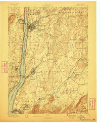
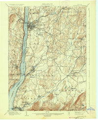
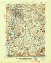
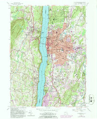
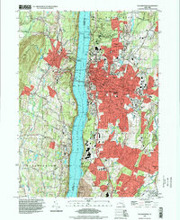
The Hudson River bisects this landscape, separating the ridge-bound settlements of Ulster County from the expansive urban and academic centers of Dutchess County. On the eastern shore, Poughkeepsie serves as a dense hub of institutional and civic life, home to the Dutchess County Courthouse and prestigious campuses including Vassar College and Marist College. The mapping detail captures the complex transit network crossing the water via the Mid Hudson Brg, while the outskirts transition into residential and industrial pockets like Spackenkill and Arlington. To the west, the Marlboro Mountains and Illinois Mountain define a more rugged topography, where smaller communities such as Highland and Milton overlook the river valley from elevated benches. This area is particularly rich in genealogical data, preserving numerous burial sites such as the Poughkeepsie Rural Cem and the Presbyterian Burial Ground.
Find a feature on this map
56 named features on this map. Tap any name to fly to it.
Don’t see what you’re looking for? This feature index may not catch every label — zoom into the map to look around manually.
Map Details
Editions of this 2023 Poughkeepsie Map
This is the sole edition of this map. No revisions or reprints were ever made.
Historical Maps of Fairview Through Time
8 maps found