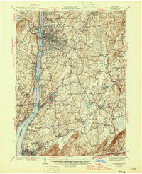
1943 Map of Poughkeepsie
USGS Topo · Published 1946About this map
Vassar College and the Hudson River State Hospital anchor the northern outskirts of Poughkeepsie, where the urban grid gives way to a landscape defined by institutional campuses and the valley's drainage. This mid-century view captures the heavy transport reliance on the Hudson River, flanked by the New York Central and West Shore railroads. Further south, the map details industrial and institutional hubs at Matteawan State Hospital in Beacon and the Castle Point US Veterans Hospital.
Find a feature on this map
106 named features on this map. Tap any name to fly to it.
Don’t see what you’re looking for? This feature index may not catch every label — zoom into the map to look around manually.
Map Details
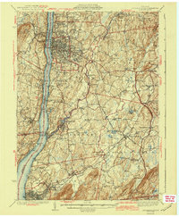
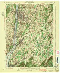
Editions of this 1943 Poughkeepsie Map
3 editions found
Other maps of this area

1892 · West Point
USGS Topo · 1:62,500

1892 · Carmel
USGS Topo · 1:62,500

1893 · Carmel
USGS Topo · 1:62,500

1893 · Clove
USGS Topo · 1:62,500

1893 · Poughkeepsie
USGS Topo · 1:62,500

1894 · West Point
USGS Topo · 1:62,500

1894 · Clove
USGS Topo · 1:62,500

1894 · Carmel
USGS Topo · 1:62,500

1894 · Poughkeepsie
USGS Topo · 1:62,500

1898 · Clove
USGS Topo · 1:62,500