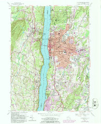
1957 Map of Poughkeepsie
USGS Topo · Published 1986About this map
The Hudson River bisects this mid-century landscape, anchoring the transit corridor between the city of Poughkeepsie on the east bank and the highland fruit-growing regions of Ulster County to the west. The 1950s survey detail captures the city’s educational and institutional density, featuring the extensive grounds of Vassar College, Marist College, and the sprawling Hudson River State Hospital campus. Industrial and commercial activity concentrated along the riverfront is evident near the Mid-Hudson Bridge and the Poughkeepsie Bridge, which served as vital regional connections before the expansion of the New York State Thruway.
Find a feature on this map
62 named features on this map. Tap any name to fly to it.
Don’t see what you’re looking for? This feature index may not catch every label — zoom into the map to look around manually.
Map Details
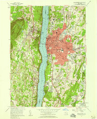
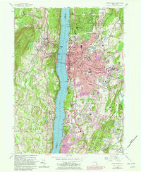
Editions of this 1957 Poughkeepsie Map
Other maps of this area

1893 · Poughkeepsie
USGS Topo · 1:62,500

1894 · Poughkeepsie
USGS Topo · 1:62,500

1898 · Rhinebeck
USGS Topo · 1:62,500

1901 · Rosendale
USGS Topo · 1:62,500

1903 · Poughkeepsie
USGS Topo · 1:62,500

1903 · Newburg
USGS Topo · 1:62,500

1903 · Rosendale
USGS Topo · 1:62,500

1934 · Rhinebeck
USGS Topo · 1:48,000

1936 · Poughkeepsie
USGS Topo · 1:48,000

1939 · Rhinebeck
USGS Topo · 1:62,500