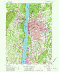
1957 Map of Poughkeepsie
USGS Topo · Published 1982About this map
The Hudson River serves as the central artery for this mid-20th-century landscape, dividing the urban expansion of Poughkeepsie from the steep wooded slopes of Illinois Mountain to the west. On the eastern shore, the city's academic and social infrastructure is well-established, anchored by the expansive grounds of Vassar College and Dutchess County Community College. The era's transportation network is defined by the Mid-Hudson Bridge and the heavy rail lines of Conrail and the Metropolitan Transportation Authority hugging the riverbanks. Beyond the city center, the landscape transitions into suburban developments like Arlington and Fairview, while the sprawling Poughkeepsie Rural Cemetery and the Dutchess Golf and Country Club preserve large tracts of open space. To the south, Wappinger Creek winds toward the river near Barnegat, marking a shift toward the more residential and industrial clusters of Red Oaks Mill.
Find a feature on this map
71 named features on this map. Tap any name to fly to it.
Don’t see what you’re looking for? This feature index may not catch every label — zoom into the map to look around manually.
Map Details
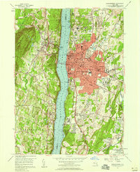
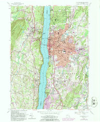
Editions of this 1957 Poughkeepsie Map
Other maps of this area

1893 · Poughkeepsie
USGS Topo · 1:62,500

1894 · Poughkeepsie
USGS Topo · 1:62,500

1898 · Rhinebeck
USGS Topo · 1:62,500

1901 · Rosendale
USGS Topo · 1:62,500

1903 · Poughkeepsie
USGS Topo · 1:62,500

1903 · Newburg
USGS Topo · 1:62,500

1903 · Rosendale
USGS Topo · 1:62,500

1934 · Rhinebeck
USGS Topo · 1:48,000

1936 · Poughkeepsie
USGS Topo · 1:48,000

1939 · Rhinebeck
USGS Topo · 1:62,500