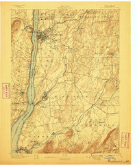
1894 Map of Poughkeepsie
USGS Topo · Published 1899About this map
The Poughkeepsie waterfront and the industrial corridors of the Hudson Valley define this late 19th-century landscape. Major institutions anchoring the region include Vassar College, College Hill, and the expansive Hudson River State Hospital. Along the riverbanks, maritime and rail transit intersect at Hampton Ferry and the Danskammer Light, while the West Shore R. R. and the New York Central and Hudson River R. R. hug the shorelines. Inland, the map reveals a dense network of farming hamlets and industrial junctions such as Hopewell Junction and Wappinger Falls. To the south, the Asylum for Insane Criminals and Fishkill Village stand near the busy Fishkill Creek. This survey captures the county during a period of transition, where established river landings like Carthage Landing and Low Point operated alongside burgeoning rail hubs and sprawling Victorian-era public institutions.
Find a feature on this map
85 named features on this map. Tap any name to fly to it.
Don’t see what you’re looking for? This feature index may not catch every label — zoom into the map to look around manually.
Map Details
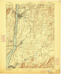
Editions of this 1894 Poughkeepsie Map
3 editions found
Other maps of this area

1892 · West Point
USGS Topo · 1:62,500

1892 · Carmel
USGS Topo · 1:62,500

1893 · Carmel
USGS Topo · 1:62,500

1893 · Clove
USGS Topo · 1:62,500

1893 · Poughkeepsie
USGS Topo · 1:62,500

1894 · West Point
USGS Topo · 1:62,500

1894 · Clove
USGS Topo · 1:62,500

1894 · Carmel
USGS Topo · 1:62,500

1894 · Poughkeepsie
USGS Topo · 1:62,500

1898 · Clove
USGS Topo · 1:62,500