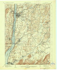
1903 Map of Poughkeepsie
USGS Topo · Published 1936About this map
Poughkeepsie and the surrounding mid-Hudson Valley settlements are depicted here just before the turn of the century, illustrating a landscape defined by industrial river traffic and a dense concentration of institutional landmarks. Major estates and public works anchor the topography, including the Vassar College campus and the sprawling grounds of the Hudson River State Hospital and the Asylum for Insane Criminals. Along the Hudson River, the transition from water to rail is evident at Highland Station and the Hampton Ferry crossing, while Danskammer Light serves as a navigational beacon for the busy maritime corridor.
Find a feature on this map
98 named features on this map. Tap any name to fly to it.
Don’t see what you’re looking for? This feature index may not catch every label — zoom into the map to look around manually.
Map Details
Editions of this 1903 Poughkeepsie Map
11 editions found

1903 edition
16.6 x 20.2 inches
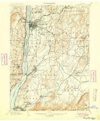
1904 edition
16.6 x 20.1 inches
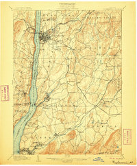
1906 edition
16.6 x 20.1 inches
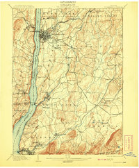
1908 edition
16.6 x 20.1 inches
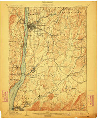
1910 edition
16.6 x 20.1 inches
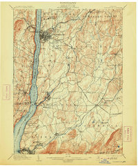
1913 edition
16.7 x 20.2 inches
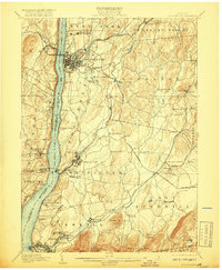
1917 edition
16.6 x 20.2 inches
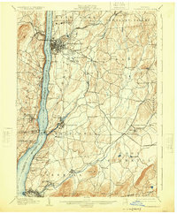
1925 edition
16.6 x 20.1 inches
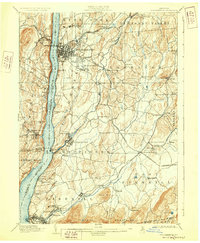
1928 edition
16.6 x 20.1 inches
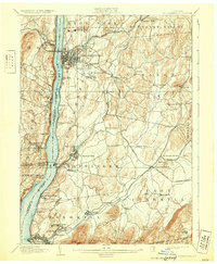
1931 edition
16.6 x 20.2 inches
1936 edition
16.6 x 20.1 inches
Other maps of this area

1892 · West Point
USGS Topo · 1:62,500

1892 · Carmel
USGS Topo · 1:62,500

1893 · Carmel
USGS Topo · 1:62,500

1893 · Clove
USGS Topo · 1:62,500

1893 · Poughkeepsie
USGS Topo · 1:62,500

1894 · West Point
USGS Topo · 1:62,500

1894 · Clove
USGS Topo · 1:62,500

1894 · Carmel
USGS Topo · 1:62,500

1894 · Poughkeepsie
USGS Topo · 1:62,500

1898 · Clove
USGS Topo · 1:62,500