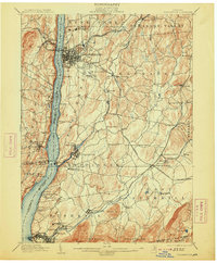
1903 Map of Poughkeepsie
USGS Topo · Published 1913About this map
Poughkeepsie serves as the industrial and academic hub of this Dutchess County landscape at the turn of the century. The city's concentration of institutions is striking, from the campus of Vassar College and College Hill to the sprawling grounds of the Hudson River State Hospital further north. This map captures a complex transportation network where multiple rail lines, including the West Shore R. R. and Central New England R. R., converge to service the riverfront and interior settlements. South of the city, the landscape transitions into a series of mill towns and junctions such as Wappinger Falls and Hopewell Junction. The Hudson River remains the dominant geographic feature, bordered by high ridges like Verplanck Ridge and Purdy Ridge, while the southeastern corner is defined by the rise of the Fishkill Mountains near Bald Hill. This survey documents a period of significant institutional growth and rail-dependent commerce before the rise of modern highway systems changed the valley's character.
Find a feature on this map
98 named features on this map. Tap any name to fly to it.
Don’t see what you’re looking for? This feature index may not catch every label — zoom into the map to look around manually.
Map Details
Editions of this 1903 Poughkeepsie Map
11 editions found

1903 edition
16.6 x 20.2 inches
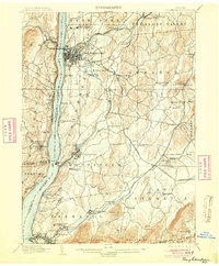
1904 edition
16.6 x 20.1 inches
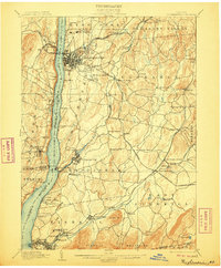
1906 edition
16.6 x 20.1 inches
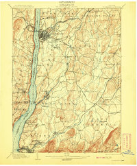
1908 edition
16.6 x 20.1 inches
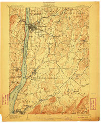
1910 edition
16.6 x 20.1 inches
1913 edition
16.7 x 20.2 inches
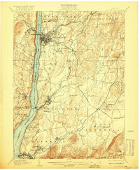
1917 edition
16.6 x 20.2 inches
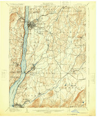
1925 edition
16.6 x 20.1 inches
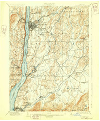
1928 edition
16.6 x 20.1 inches
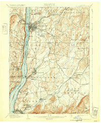
1931 edition
16.6 x 20.2 inches
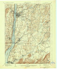
1936 edition
16.6 x 20.1 inches
Other maps of this area

1892 · West Point
USGS Topo · 1:62,500

1892 · Carmel
USGS Topo · 1:62,500

1893 · Carmel
USGS Topo · 1:62,500

1893 · Clove
USGS Topo · 1:62,500

1893 · Poughkeepsie
USGS Topo · 1:62,500

1894 · West Point
USGS Topo · 1:62,500

1894 · Clove
USGS Topo · 1:62,500

1894 · Carmel
USGS Topo · 1:62,500

1894 · Poughkeepsie
USGS Topo · 1:62,500

1898 · Clove
USGS Topo · 1:62,500