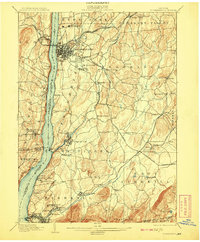
1903 Map of Poughkeepsie
USGS Topo · Published 1908About this map
Hudson River commerce and industrial transport define this region at the turn of the century, with Poughkeepsie serving as a dense hub for institutional and educational development. The shoreline is crowded with rail infrastructure, including the West Shore R.R. on the western bank and the New York Central and Hudson River R.R. to the east. Institutional landmarks such as Vassar College and the Hudson River State Hospital occupy significant footprints near the city center. Southward, the landscape transitions into a series of manufacturing and milling villages along Wappinger Creek and Fishkill Creek, where settlements like Matteawan, Glenham, and Wappinger Falls are interconnected by an Electric R.R. and several competing rail lines. Further inland, the topography rises toward the Fishkill Mountains, overlooking a network of smaller agrarian hamlets and junctions like Hopewell Junction and Brinckerhoff.
Find a feature on this map
100 named features on this map. Tap any name to fly to it.
Don’t see what you’re looking for? This feature index may not catch every label — zoom into the map to look around manually.
Map Details
Editions of this 1903 Poughkeepsie Map
11 editions found

1903 edition
16.6 x 20.2 inches
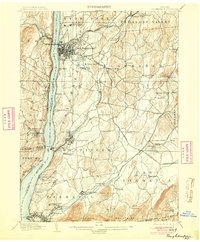
1904 edition
16.6 x 20.1 inches
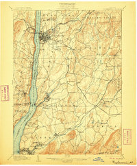
1906 edition
16.6 x 20.1 inches
1908 edition
16.6 x 20.1 inches
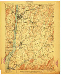
1910 edition
16.6 x 20.1 inches
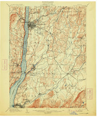
1913 edition
16.7 x 20.2 inches
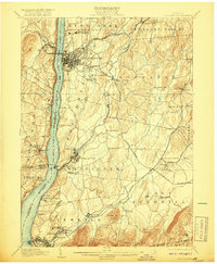
1917 edition
16.6 x 20.2 inches
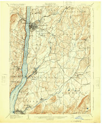
1925 edition
16.6 x 20.1 inches
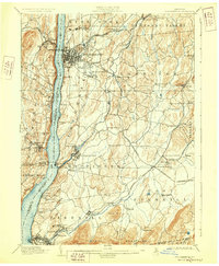
1928 edition
16.6 x 20.1 inches
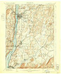
1931 edition
16.6 x 20.2 inches
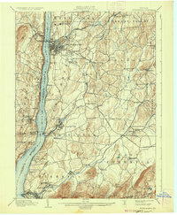
1936 edition
16.6 x 20.1 inches
Other maps of this area

1892 · West Point
USGS Topo · 1:62,500

1892 · Carmel
USGS Topo · 1:62,500

1893 · Carmel
USGS Topo · 1:62,500

1893 · Clove
USGS Topo · 1:62,500

1893 · Poughkeepsie
USGS Topo · 1:62,500

1894 · West Point
USGS Topo · 1:62,500

1894 · Clove
USGS Topo · 1:62,500

1894 · Carmel
USGS Topo · 1:62,500

1894 · Poughkeepsie
USGS Topo · 1:62,500

1898 · Clove
USGS Topo · 1:62,500