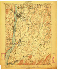
1903 Map of Poughkeepsie
USGS Topo · Published 1910About this map
Poughkeepsie serves as the focal point of this 1890s-era landscape, where the Hudson River acts as both a busy transit corridor and a natural county boundary. The rail infrastructure of the turn of the century is remarkably dense, featuring the West Shore RR and the New York Central and Hudson River RR flanking the water. On the eastern bank, notable institutions such as Vassar College and the Hudson River State Hospital are well-established, while further south, the industrial and civic hubs of Wappinger Falls and Matteawan reflect the era's manufacturing growth.
Find a feature on this map
96 named features on this map. Tap any name to fly to it.
Don’t see what you’re looking for? This feature index may not catch every label — zoom into the map to look around manually.
Map Details
Editions of this 1903 Poughkeepsie Map
11 editions found

1903 edition
16.6 x 20.2 inches
1904 edition
16.6 x 20.1 inches
1906 edition
16.6 x 20.1 inches
1908 edition
16.6 x 20.1 inches
1910 edition
16.6 x 20.1 inches
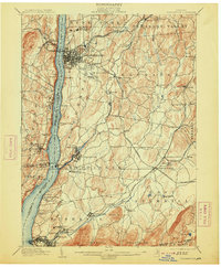
1913 edition
16.7 x 20.2 inches
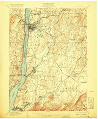
1917 edition
16.6 x 20.2 inches
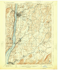
1925 edition
16.6 x 20.1 inches
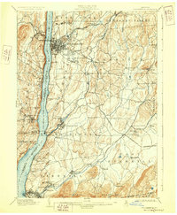
1928 edition
16.6 x 20.1 inches
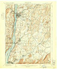
1931 edition
16.6 x 20.2 inches
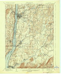
1936 edition
16.6 x 20.1 inches
Other maps of this area

1892 · West Point
USGS Topo · 1:62,500

1892 · Carmel
USGS Topo · 1:62,500

1893 · Carmel
USGS Topo · 1:62,500

1893 · Clove
USGS Topo · 1:62,500

1893 · Poughkeepsie
USGS Topo · 1:62,500

1894 · West Point
USGS Topo · 1:62,500

1894 · Clove
USGS Topo · 1:62,500

1894 · Carmel
USGS Topo · 1:62,500

1894 · Poughkeepsie
USGS Topo · 1:62,500

1898 · Clove
USGS Topo · 1:62,500