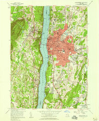
1957 Map of Poughkeepsie
USGS Topo · Published 1959About this map
The Hudson River bisects this mid-century landscape, separating the dense urban core of Poughkeepsie from the steep slopes of Illinois Mountain in Lloyd. The city serves as a regional hub of education and medicine, anchored by the expansive grounds of Vassar College and Marian College, alongside healthcare facilities like St Francis Hospital. Transport remains the lifeblood of the area, centered on the Mid-Hudson Bridge and the busy corridors of the Dutchess Turnpike and Main St.
Find a feature on this map
70 named features on this map. Tap any name to fly to it.
Don’t see what you’re looking for? This feature index may not catch every label — zoom into the map to look around manually.
Map Details
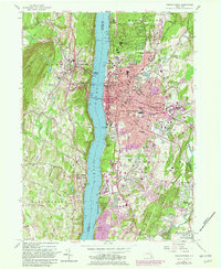
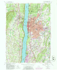
Editions of this 1957 Poughkeepsie Map
Other maps of this area

1893 · Poughkeepsie
USGS Topo · 1:62,500

1894 · Poughkeepsie
USGS Topo · 1:62,500

1898 · Rhinebeck
USGS Topo · 1:62,500

1901 · Rosendale
USGS Topo · 1:62,500

1903 · Poughkeepsie
USGS Topo · 1:62,500

1903 · Newburg
USGS Topo · 1:62,500

1903 · Rosendale
USGS Topo · 1:62,500

1934 · Rhinebeck
USGS Topo · 1:48,000

1936 · Poughkeepsie
USGS Topo · 1:48,000

1939 · Rhinebeck
USGS Topo · 1:62,500