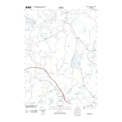
2010 Map of Poughquag
USGS Topo · Published 2010About this map
Barton Orchards and the community of Beekman define the northern valley landscape of this Dutchess County quadrangle. The map documents a corridor of varying land use, from the residential pockets at Pine Grove Terrace and Poughquag to the significant aviation footprint of Stormville Airport near Stormville Mountain. Water features dominate the geography, notably Whaley Lake and its neighbors, Willow Lake and Little Whaley Lake, which are surrounded by numerous recreational sites including Sanita Hills Camp and Westminster Camp.
Find a feature on this map
108 named features on this map. Tap any name to fly to it.
Don’t see what you’re looking for? This feature index may not catch every label — zoom into the map to look around manually.
Map Details
Editions of this 2010 Poughquag Map
This is the sole edition of this map. No revisions or reprints were ever made.
Other maps of this area

1892 · West Point
USGS Topo · 1:62,500

1892 · Carmel
USGS Topo · 1:62,500

1893 · Carmel
USGS Topo · 1:62,500

1893 · Clove
USGS Topo · 1:62,500

1893 · Poughkeepsie
USGS Topo · 1:62,500

1894 · West Point
USGS Topo · 1:62,500

1894 · Clove
USGS Topo · 1:62,500

1894 · Carmel
USGS Topo · 1:62,500

1894 · Poughkeepsie
USGS Topo · 1:62,500

1898 · Clove
USGS Topo · 1:62,500