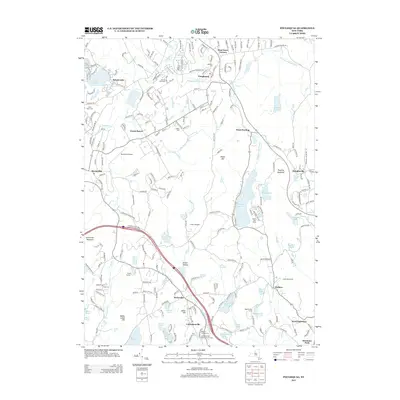
2013 Map of Poughquag
USGS Topo · Published 2013About this map
The hamlets of Poughquag and Stormville anchor this southern Dutchess County landscape, characterized by a mix of residential corridors and significant water bodies. In the east, the sprawling Whaley Lake and Little Whaley Lake are central features, surrounded by summer camps such as Sanita Hills Camp. The terrain is shaped by prominent heights like Depot Hill and Pawling Mountain, which separate the valley drainage of Whaley Lake Stream from the lowlands to the west.
Find a feature on this map
59 named features on this map. Tap any name to fly to it.
Don’t see what you’re looking for? This feature index may not catch every label — zoom into the map to look around manually.
Map Details
Editions of this 2013 Poughquag Map
This is the sole edition of this map. No revisions or reprints were ever made.
Other maps of this area

1892 · West Point
USGS Topo · 1:62,500

1892 · Carmel
USGS Topo · 1:62,500

1893 · Carmel
USGS Topo · 1:62,500

1893 · Clove
USGS Topo · 1:62,500

1893 · Poughkeepsie
USGS Topo · 1:62,500

1894 · West Point
USGS Topo · 1:62,500

1894 · Clove
USGS Topo · 1:62,500

1894 · Carmel
USGS Topo · 1:62,500

1894 · Poughkeepsie
USGS Topo · 1:62,500

1898 · Clove
USGS Topo · 1:62,500