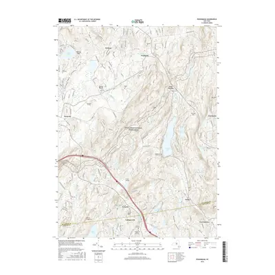
2016 Map of Poughquag
USGS Topo · Published 2016About this map
The Appalachian National Scenic Trail winds through the high ridges of this landscape, crossing over Depot Hill and descending toward Whaley Lake. This section of the Hudson Valley hinterland is characterized by scattered settlements and numerous small water bodies like Nuclear Lake and Sylvan Lake. In the lowlands, the Stormville Airport and the community of Green Haven reflect the area's mid-century development. Genealogical interest is particularly high here, with many small family and church burial grounds preserved, including Saint Denis Cem, the Mead Cem, and the Whaley Lake Baptist Cem. The southern portion of the map transitions into the uplands of Putnam County, where the hills around Ludingtonville and Grape Hollow provided the setting for 18th and 19th-century farmsteads.
Find a feature on this map
61 named features on this map. Tap any name to fly to it.
Don’t see what you’re looking for? This feature index may not catch every label — zoom into the map to look around manually.
Map Details
Editions of this 2016 Poughquag Map
This is the sole edition of this map. No revisions or reprints were ever made.
Other maps of this area

1892 · West Point
USGS Topo · 1:62,500

1892 · Carmel
USGS Topo · 1:62,500

1893 · Carmel
USGS Topo · 1:62,500

1893 · Clove
USGS Topo · 1:62,500

1893 · Poughkeepsie
USGS Topo · 1:62,500

1894 · West Point
USGS Topo · 1:62,500

1894 · Clove
USGS Topo · 1:62,500

1894 · Carmel
USGS Topo · 1:62,500

1894 · Poughkeepsie
USGS Topo · 1:62,500

1898 · Clove
USGS Topo · 1:62,500