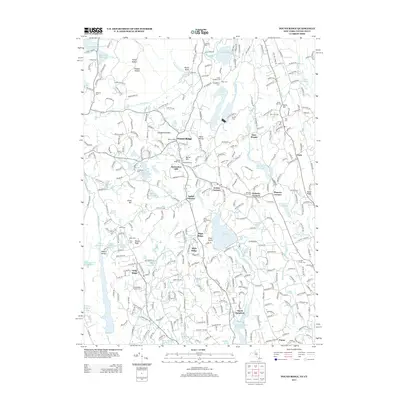
2013 Map of Pound Ridge
USGS Topo · Published 2013About this map
Pound Ridge and North Stamford anchor this topographical survey of the wooded boundary lands between New York and Connecticut. The landscape is defined by its sophisticated water management systems, including the Trinity Lake, Laurel Reservoir, and the Cross River Reservoir, which regulate the flow of the Mill River and Rippowam River. This network of reservoirs highlights the region's importance as a watershed for nearby coastal populations.
Find a feature on this map
319 named features on this map. Tap any name to fly to it.
Don’t see what you’re looking for? This feature index may not catch every label — zoom into the map to look around manually.
Map Details
Editions of this 2013 Pound Ridge Map
This is the sole edition of this map. No revisions or reprints were ever made.
Other maps of this area

1892 · Stamford
USGS Topo · 1:62,500

1892 · Danbury
USGS Topo · 1:62,500

1892 · Norwalk
USGS Topo · 1:62,500

1892 · Carmel
USGS Topo · 1:62,500

1893 · Carmel
USGS Topo · 1:62,500

1893 · Stamford
USGS Topo · 1:62,500

1893 · Norwalk
USGS Topo · 1:62,500

1894 · Carmel
USGS Topo · 1:62,500

1899 · Stamford
USGS Topo · 1:62,500

1915 · Danbury
USGS Topo · 1:62,500