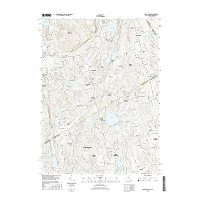
2016 Map of Pound Ridge
USGS Topo · Published 2016About this map
The borderlands of New York and Connecticut are defined by a complex network of reservoirs and historic family settlements. This landscape features significant water bodies like Laurel Reservoir, Siscowit Reservoir, and Trinity Lake, which serve as vital hydraulic resources for the region. The transition from Westchester Co in New York to Fairfield Co in Connecticut is marked by scattered hamlets and named intersections such as Scotts Corners, Sellecks Corners, and Sarles Corners.
Find a feature on this map
262 named features on this map. Tap any name to fly to it.
Don’t see what you’re looking for? This feature index may not catch every label — zoom into the map to look around manually.
Map Details
Editions of this 2016 Pound Ridge Map
This is the sole edition of this map. No revisions or reprints were ever made.
Other maps of this area

1892 · Stamford
USGS Topo · 1:62,500

1892 · Danbury
USGS Topo · 1:62,500

1892 · Norwalk
USGS Topo · 1:62,500

1892 · Carmel
USGS Topo · 1:62,500

1893 · Carmel
USGS Topo · 1:62,500

1893 · Stamford
USGS Topo · 1:62,500

1893 · Norwalk
USGS Topo · 1:62,500

1894 · Carmel
USGS Topo · 1:62,500

1899 · Stamford
USGS Topo · 1:62,500

1915 · Danbury
USGS Topo · 1:62,500