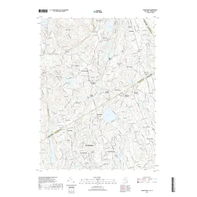
2019 Map of Pound Ridge
USGS Topo · Published 2019About this map
Lewisboro and Pound Ridge anchor this detailed landscape along the state line where Westchester County meets Fairfield County. The area is defined by a dense concentration of historical family burial grounds and small cemeteries, such as the Scofield - Green - Stone Hill Burial Ground and the Knapp - Bouton - Interlacken Cem, reflecting centuries of deep-rooted local lineage. Hydrological features dominate the terrain, from the large Trinity Lake and Laurel Reservoir to smaller bodies like Doughnut Lake and the winding Mianus River. The map captures the suburban-rural character of Stamford and New Canaan as they transition into the more wooded uplands of North Stamford and Hunting Ridge, where geological features like Raven Rocks and the Mianus Gorge break the rolling topography of Honey Hollow and Wildcat Hollow.
Find a feature on this map
268 named features on this map. Tap any name to fly to it.
Don’t see what you’re looking for? This feature index may not catch every label — zoom into the map to look around manually.
Map Details
Editions of this 2019 Pound Ridge Map
This is the sole edition of this map. No revisions or reprints were ever made.
Other maps of this area

1892 · Stamford
USGS Topo · 1:62,500

1892 · Danbury
USGS Topo · 1:62,500

1892 · Norwalk
USGS Topo · 1:62,500

1892 · Carmel
USGS Topo · 1:62,500

1893 · Carmel
USGS Topo · 1:62,500

1893 · Stamford
USGS Topo · 1:62,500

1893 · Norwalk
USGS Topo · 1:62,500

1894 · Carmel
USGS Topo · 1:62,500

1899 · Stamford
USGS Topo · 1:62,500

1915 · Danbury
USGS Topo · 1:62,500