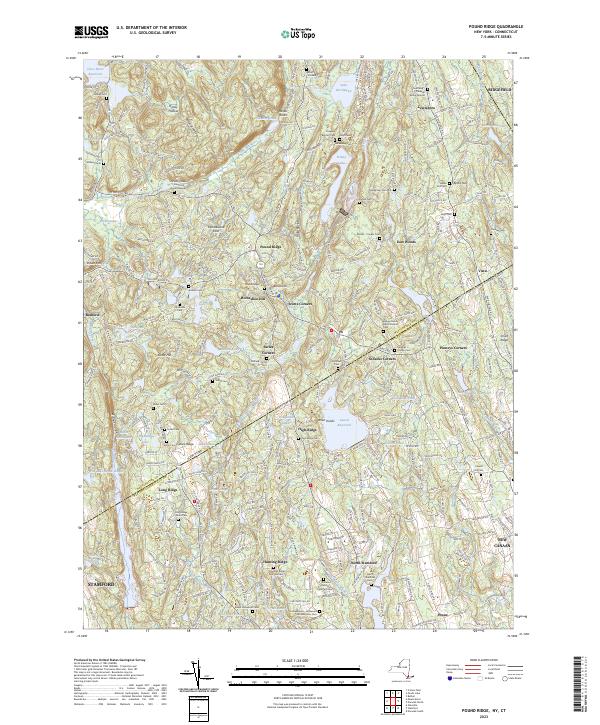
2023 Map of Pound Ridge
USGS Topo · Published 2023About this map
Pound Ridge and the surrounding Westchester County borderlands appear here as a complex landscape of wooded ravines and historic cemeteries. The terrain is defined by dramatic features like Raven Rocks and the Mianus Gorge, where the Mianus River carves through the landscape. This area is notable for its high concentration of family burial grounds and small community plots, including the Northrup-Caldwell Burial Ground near Lewisboro and the Scofield-Green-Stone Hill Burial Ground.
Find a feature on this map
180 named features on this map. Tap any name to fly to it.
Don’t see what you’re looking for? This feature index may not catch every label — zoom into the map to look around manually.
Map Details
Editions of this 2023 Pound Ridge Map
This is the sole edition of this map. No revisions or reprints were ever made.
Other maps of this area

1892 · Stamford
USGS Topo · 1:62,500
1892 · Danbury
USGS Topo · 1:62,500
1892 · Norwalk
USGS Topo · 1:62,500

1892 · Carmel
USGS Topo · 1:62,500

1893 · Carmel
USGS Topo · 1:62,500

1893 · Stamford
USGS Topo · 1:62,500
1893 · Norwalk
USGS Topo · 1:62,500
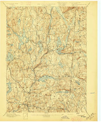
1894 · Carmel
USGS Topo · 1:62,500
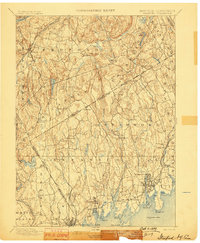
1899 · Stamford
USGS Topo · 1:62,500
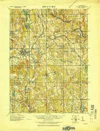
1915 · Danbury
USGS Topo · 1:62,500