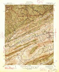
1947 Map of Pounding Mill
USGS Topo · Published 1947About this map
The Clinch River carves a central path through this terrain, where the ridge-and-valley landscape of the Jefferson National Forest meets the industrial reach of the Norfolk and Western railway. Mapping conducted in the early 1940s reveals a region defined by its narrow valley settlements like Pounding Mill and Amonate, alongside historical landmarks such as Witten Fort. The intricate network of small country schools and churches—including Beech Fork Sch and Greene Chapel—is densely distributed throughout the hollows, reflecting a peak era of rural community infrastructure before later 20th-century consolidation.
Find a feature on this map
83 named features on this map. Tap any name to fly to it.
Don’t see what you’re looking for? This feature index may not catch every label — zoom into the map to look around manually.
Map Details
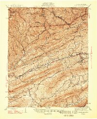
Editions of this 1947 Pounding Mill Map
2 editions found
Other maps of this area

1887 · Pocahontas
USGS Topo · 1:125,000

1889 · Wytheville
USGS Topo · 1:125,000

1891 · Tazewell
USGS Topo · 1:125,000

1891 · Pocahontas
USGS Topo · 1:125,000

1891 · Abingdon
USGS Topo · 1:125,000

1892 · Wytheville
USGS Topo · 1:125,000

1894 · Pocahontas
USGS Topo · 1:125,000

1894 · Abingdon
USGS Topo · 1:125,000

1895 · Tazewell
USGS Topo · 1:125,000

1895 · Pocahontas
USGS Topo · 1:125,000