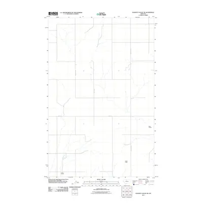
2011 Map of Poverty Coulee NE
USGS Topo · Published 2011About this map
Dobie Ridge rises as a prominent topographical landmark in this rural landscape of North Central Montana. The area is defined by its drainages, notably the winding paths of Black Coulee and Larson Coulee, which shape the local hydrology and elevation contours. This terrain is segmented by a sparse but organized network of roads, including South Joplin Rd, Black Coulee Rd, and Crow Rd, which follow the rigid geometry of the established section lines. This map illustrates the intersection of natural erosion patterns with the large-scale agricultural grid characteristic of the Great Plains, where roads and property boundaries are often dictated by the cardinal directions and topography of the coulees.
Find a feature on this map
7 named features on this map. Tap any name to fly to it.
Don’t see what you’re looking for? This feature index may not catch every label — zoom into the map to look around manually.
Map Details
Editions of this 2011 Poverty Coulee NE Map
This is the sole edition of this map. No revisions or reprints were ever made.
Other maps of this area

1919 · Alma
USGS Topo · 1:125,000

1954 · Shelby
USGS Topo · 1:250,000

1958 · Shelby
USGS Topo · 1:250,000

1963 · Joplin
USGS Topo · 1:24,000

1963 · Chester
USGS Topo · 1:24,000

1970 · Circle Bridge
USGS Topo · 1:24,000

1970 · Poverty Coulee NE
USGS Topo · 1:24,000

1970 · Poverty Coulee SE
USGS Topo · 1:24,000

1970 · Rocky Coulee SW
USGS Topo · 1:24,000

1970 · Rocky Coulee
USGS Topo · 1:24,000