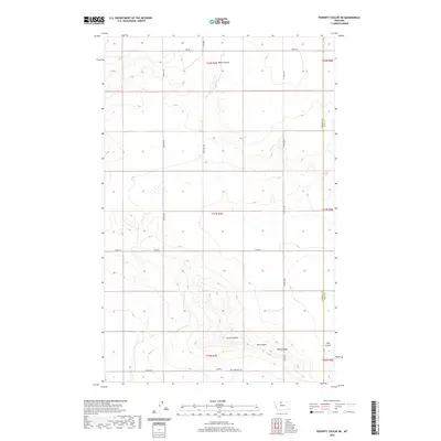
2020 Map of Poverty Coulee NE
USGS Topo · Published 2020About this map
Dobie Ridge rises as a prominent landmark in this northern Montana landscape, located along the border between Hill and Liberty Counties. This 2020 map documents the transition between the high plains and the intricate drainage systems that define the area's topography. Watercourses like Black Coulee, Larson Coulee, Hay Coulee, and Flat Coulee carve through the terrain, illustrating the natural erosional patterns characteristic of the region's semi-arid environment.
Find a feature on this map
20 named features on this map. Tap any name to fly to it.
Don’t see what you’re looking for? This feature index may not catch every label — zoom into the map to look around manually.
Map Details
Editions of this 2020 Poverty Coulee NE Map
This is the sole edition of this map. No revisions or reprints were ever made.
Other maps of this area

1919 · Alma
USGS Topo · 1:125,000

1954 · Shelby
USGS Topo · 1:250,000

1958 · Shelby
USGS Topo · 1:250,000

1963 · Joplin
USGS Topo · 1:24,000

1963 · Chester
USGS Topo · 1:24,000

1970 · Circle Bridge
USGS Topo · 1:24,000

1970 · Poverty Coulee NE
USGS Topo · 1:24,000

1970 · Poverty Coulee SE
USGS Topo · 1:24,000

1970 · Rocky Coulee SW
USGS Topo · 1:24,000

1970 · Rocky Coulee
USGS Topo · 1:24,000