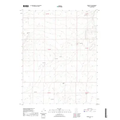
2018 Map of Poverty Flat
USGS Topo · Published 2018About this map
Paria Plateau dominates this Coconino County landscape, illustrating a complex high-desert topography defined by significant depressions and elevated ridges. The 2018 survey reveals a terrain of natural catchments and geologic anomalies, including the distinct Big Sink and the sheltered Red Pocket in the south. These features, along with Big Pocket, suggest a landscape where water and wind have carved specific niches into the plateau over millennia.
Find a feature on this map
16 named features on this map. Tap any name to fly to it.
Don’t see what you’re looking for? This feature index may not catch every label — zoom into the map to look around manually.
Map Details
Editions of this 2018 Poverty Flat Map
This is the sole edition of this map. No revisions or reprints were ever made.
Other maps of this area

1886 · Kanab
USGS Topo · 1:250,000

1886 · Escalante
USGS Topo · 1:250,000

1886 · Echo Cliffs
USGS Topo · 1:250,000

1886 · Kaibab
USGS Topo · 1:250,000

1891 · Echo Cliffs
USGS Topo · 1:250,000

1953 · Cedar City
USGS Topo · 1:250,000

1953 · Grand Canyon
USGS Topo · 1:250,000

1954 · Buckskin Gulch SE
USGS Topo · 1:24,000

1954 · Paria Plateau SE
USGS Topo · 1:24,000

1954 · Paria Plateau NW
USGS Topo · 1:24,000