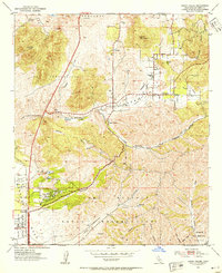
1952 Map of Poway Valley
USGS Topo · Published 1954About this map
Poway Valley remains largely agricultural and rural in this early 1950s study, anchored by the small settlement of Poway and the nearby Poway Grove. The landscape is a network of deep drainage systems like Los Penasquitos Canyon and Beeler Creek, punctuated by prominent heights such as Twin Peaks and Black Mtn. The era’s shifting land use is evident in the transition from traditional ranching boundaries like San Bernardo (Snook) to significant military footprints, including the Miramar Naval Air Station Reservation and Camp Elliott Naval Reservation. Local community life is centered around the Pomerado Sch, Midland Sch, and the Poway Cem. The presence of an Aqueduct and scattered Reservoirs highlights the critical water management required to support the expanding Scripps Ranch area and the various naval installations.
Find a feature on this map
36 named features on this map. Tap any name to fly to it.
Don’t see what you’re looking for? This feature index may not catch every label — zoom into the map to look around manually.
Map Details
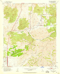
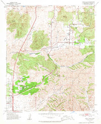
Editions of this 1952 Poway Valley Map
3 editions found
Other maps of this area

1893 · El Cajon
USGS Topo · 1:62,500

1893 · Escondido
USGS Topo · 1:62,500

1901 · Elcajon
USGS Topo · 1:62,500

1901 · Escondido
USGS Topo · 1:62,500

1901 · San Luis Rey
USGS Topo · 1:125,000

1903 · Cuyamaca
USGS Topo · 1:125,000

1903 · La Jolla
USGS Topo · 1:62,500

1903 · Elcajon
USGS Topo · 1:62,500

1903 · Ramona
USGS Topo · 1:125,000

1904 · Southern California Sheet No. 2
USGS Topo · 1:250,000