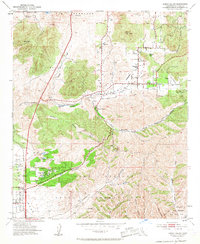
1952 Map of Poway Valley
USGS Topo · Published 1959About this map
Poway and the surrounding valley floor appear here in the early 1950s, a period transitioning from ranching roots toward modern development. This landscape is defined by its dramatic topographic relief, from the heights of Black Mtn and Twin Peaks down into the winding depths of Los Peñasquitos Canyon. Local education and community landmarks are represented by the Pomerado Sch and Poway Cem, while the southern reaches of the quadrangle are largely occupied by military interests at Camp Elliott and the Naval Reservation. Numerous canyons, including Sycamore Canyon and Beeler Creek, carve through the terrain, illustrating the complex drainage system that directed the area's early settlement patterns. Traces of historical land grants like San Bernardo (Snook) and Los Peñasquitos underscore the region's heritage, while newer developments such as Scripps Ranch begin to emerge on the map.
Find a feature on this map
30 named features on this map. Tap any name to fly to it.
Don’t see what you’re looking for? This feature index may not catch every label — zoom into the map to look around manually.
Map Details
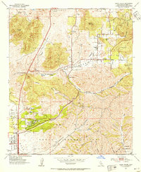
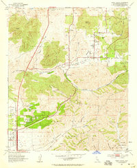
Editions of this 1952 Poway Valley Map
3 editions found
Other maps of this area

1893 · El Cajon
USGS Topo · 1:62,500

1893 · Escondido
USGS Topo · 1:62,500

1901 · Elcajon
USGS Topo · 1:62,500

1901 · Escondido
USGS Topo · 1:62,500

1901 · San Luis Rey
USGS Topo · 1:125,000

1903 · Cuyamaca
USGS Topo · 1:125,000

1903 · La Jolla
USGS Topo · 1:62,500

1903 · Elcajon
USGS Topo · 1:62,500

1903 · Ramona
USGS Topo · 1:125,000

1904 · Southern California Sheet No. 2
USGS Topo · 1:250,000