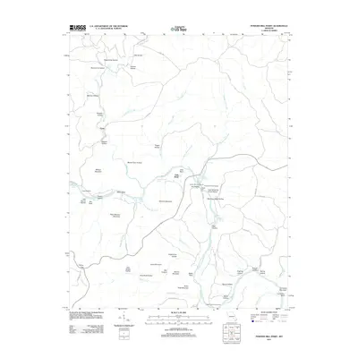
2011 Map of Powder Mill Ferry
USGS Topo · Published 2011About this map
Current River frontage and the river crossing at Powder Mill Ferry anchor this landscape in the Missouri Ozarks. The geography is defined by a dense network of hollows and springs that feed into the main waterway, including the significant Blue Spring and the aptly named Powder Mill Spring. Human activity is concentrated around the bend in the river, where Owls Bend and the Powder Mill Campground provide access to the water. The map records several family-named landmarks and topographic features such as Williams Mountain, Peter Mooney Mountain, and Wildcat Mountain. This modern survey illustrates the persistent importance of river access points, like the Powder Mill River Access, in a region where the terrain is deeply carved by drainages like Blair Creek, Thorny Creek, and Rocky Creek. Researchers will find a landscape where traditional river crossings and springs remain central to the local geography.
Find a feature on this map
77 named features on this map. Tap any name to fly to it.
Don’t see what you’re looking for? This feature index may not catch every label — zoom into the map to look around manually.
Map Details
Editions of this 2011 Powder Mill Ferry Map
This is the sole edition of this map. No revisions or reprints were ever made.
Other maps of this area

1915 · Eminence
USGS Topo · 1:62,500

1917 · Eminence
USGS Topo · 1:62,500

1928 · Cardareva
USGS Topo · 1:62,500

1944 · Corridon
USGS Topo · 1:62,500

1945 · Round Spring
USGS Topo · 1:62,500

1947 · Sinkin
USGS Topo · 1:48,000

1947 · Corridon
USGS Topo · 1:62,500

1949 · Round Spring
USGS Topo · 1:62,500

1949 · Rolla
USGS Topo · 1:250,000

1949 · Cardareva
USGS Topo · 1:62,500