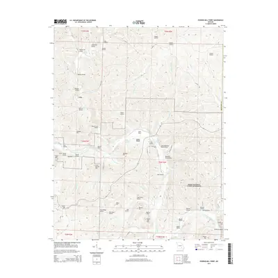
2015 Map of Powder Mill Ferry
USGS Topo · Published 2015About this map
Ozark National Scenic Riverways encompasses much of this landscape, centered on the winding path of the Current River. This 2015 survey shows a terrain defined by deep hollows and numerous freshwater springs, including Blue Spring, Cove Spring, and Clint Williams Spring. The settlement of Owls Bend sits near a prominent bend in the river, while the tiny community of Gang is situated to the northwest among the drainage of Blair Cr.
Find a feature on this map
89 named features on this map. Tap any name to fly to it.
Don’t see what you’re looking for? This feature index may not catch every label — zoom into the map to look around manually.
Map Details
Editions of this 2015 Powder Mill Ferry Map
This is the sole edition of this map. No revisions or reprints were ever made.
Other maps of this area

1915 · Eminence
USGS Topo · 1:62,500

1917 · Eminence
USGS Topo · 1:62,500

1928 · Cardareva
USGS Topo · 1:62,500

1944 · Corridon
USGS Topo · 1:62,500

1945 · Round Spring
USGS Topo · 1:62,500

1947 · Sinkin
USGS Topo · 1:48,000

1947 · Corridon
USGS Topo · 1:62,500

1949 · Round Spring
USGS Topo · 1:62,500

1949 · Rolla
USGS Topo · 1:250,000

1949 · Cardareva
USGS Topo · 1:62,500