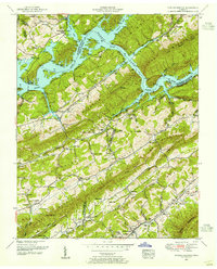
1952 Map of Powder Springs
USGS Topo · Published 1955About this map
Norris Lake and the Clinch River dominate the northern terrain of this 1952 revision, where the Norris Reservation boundary winds through a landscape of deep hollows and prominent ridges. The map illustrates a mid-century rural economy transitioning toward recreation, evidenced by Cedar Grove Dock and Clinch River Bridge Dock serving the flooded valleys. To the south, the settlement of Powder Springs sits along the Southern railroad line at the foot of Copper Ridge. Genealogists will find a high density of family-named landmarks, including the Walker Ford Lookout Tower and numerous burial sites such as Braden Cemetery and Cherry Orchard Cemetery. The document captures the complex convergence of Claiborne, Union, and Grainger counties across a series of parallel heights, from Lone Mountain to Clinch Mountain.
Find a feature on this map
95 named features on this map. Tap any name to fly to it.
Don’t see what you’re looking for? This feature index may not catch every label — zoom into the map to look around manually.
Map Details
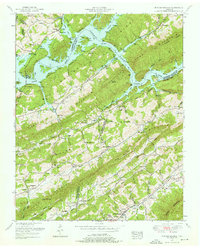
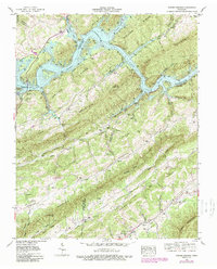
Editions of this 1952 Powder Springs Map
3 editions found
Other maps of this area

1897 · Maynardville
USGS Topo · 1:125,000

1900 · Maynardville
USGS Topo · 1:125,000

1935 · Luttrell
USGS Topo · 1:24,000

1935 · Straw Plains
USGS Topo · 1:48,000

1935 · Graveston
USGS Topo · 1:24,000

1935 · Joppa
USGS Topo · 1:24,000

1936 · Gorryton
USGS Topo · 1:48,000

1936 · Powder Springs
USGS Topo · 1:24,000

1936 · Ausmus
USGS Topo · 1:24,000
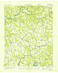
1936 · Clouds
USGS Topo · 1:24,000