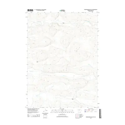
2014 Map of Powderhorn Valley SW
USGS Topo · Published 2014About this map
Snake River meanders across the northern portion of this Nebraska landscape, carving a distinct corridor through the Sandhills of Cherry County. This 2014 survey documents the hydrographic network of the region, where the Snake River is joined further south by the winding paths of Boardman Cr and Gordon Cr. The terrain is defined by its wide, flat depressions like Grove Valley and Big Dry Valley, which break up the characteristic dune formations. A singular structural landmark, Webster Bridge, provides a crossing point over the northern river, while ephemeral watercourses such as Dry Cr trace the low-lying drainage patterns in the southern section of the quadrangle. The map illustrates a primarily ranching-driven landscape where movement is dictated by these natural water gaps and topographic basins.
Find a feature on this map
7 named features on this map. Tap any name to fly to it.
Don’t see what you’re looking for? This feature index may not catch every label — zoom into the map to look around manually.
Map Details
Editions of this 2014 Powderhorn Valley SW Map
This is the sole edition of this map. No revisions or reprints were ever made.
Other maps of this area

1949 · Big Falls
USGS Topo · 1:62,500

1950 · Powderhorn Valley
USGS Topo · 1:62,500

1950 · Doughboy
USGS Topo · 1:62,500

1950 · Wolf Lake
USGS Topo · 1:62,500

1951 · Big Falls
USGS Topo · 1:62,500

1951 · Wolf Lake
USGS Topo · 1:62,500

1952 · Doughboy
USGS Topo · 1:62,500

1957 · Valentine
USGS Topo · 1:250,000

1959 · Valentine
USGS Topo · 1:250,000

1985 · Powderhorn Valley SW
USGS Topo · 1:24,000